Spavinaw Creekside
Uploaded By Scott (webmaster) Uploaded on Thursday, October 16, 2008 at 08:02:54 AM Viewed 8801 times |

| This website or the contributor can't guarantee the information here to be accurate or to be up-to-date, although that is the intention for the data. Illegal activity or property damage is not the responsibility of this website, but each visitor is encouraged to review the Rockhound Code of Ethics. Each website visitor is advised also to consider reference sources listed and outside sources in their research before visiting the location. |
Details: Description from http://www.brightok.net/~rockman/Images/OkIndex.htm#Mayes%20County:
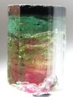
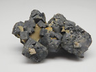
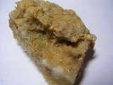
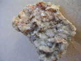
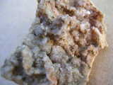
Spavinaw Lake areas, W of the dam to the bridge, sec.15, T.22N, R.21E, Spavinaw Granite: cerussite, dolomite, galena, goethite (after pyrite), magnetite (crystals), pyrite, quartz (crystals) (Zeitner 1972).
I stopped by the bridge over the river and it is surrounded by private property with signs. The ridge on the far sid
Directions: Spavinaw Lake areas, W of the dam to the bridge, sec.15, T.22N, R.21E
 Now On eBay(View More) Now On eBay(View More) | ||||||||||||||||||||
|
|
| ||||||||||||||||||


GPS Coordinates (lat,long): ( 36°23'17.69"N, 95° 3'32.40"W)
or (36.388247, -95.059000)
Google Map: (The GPS marker is supposed to be exact.)
Zeitner, J.C. 1972. Southwest mineral and gem trails. San Diego: Lapidary Journal.
Tags:
 DSCN5713.jpg |
 DSCN6894.jpg |
 DSCN6895.jpg |
|